Home > Blog > Weather Today
Weather Today – August 15, 2015 | ITCZ prevails; 2 cyclones monitored outside PAR
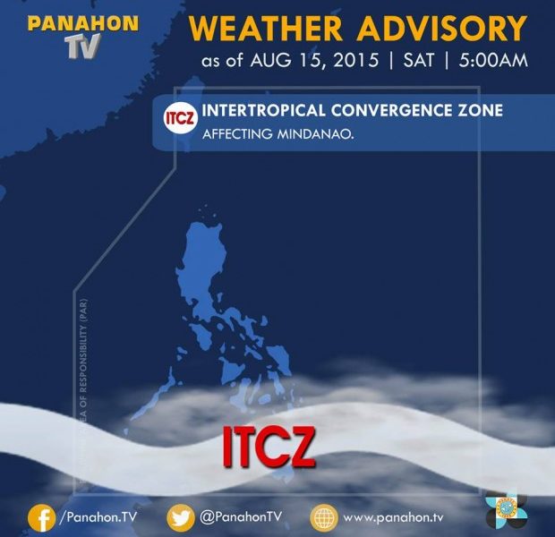
As of now, the country remains “bagyo-free” but rains could still be experienced over some areas due to the prevailing Intertropical Convergence Zone (ITCZ). This weather system will bring cloudy skies with light to moderate rains and isolated thunderstorms over Eastern Visayas, Northern Mindanao, CARAGA and Davao Region. Metro Manila and the rest of the country will have partly cloudy to cloudy skies with isolated thunderstorms.
The ITCZ is characterized as an area where winds coming from the Northern and Southern Hemispheres meet. PAGASA Weather Forecaster Meno Mendoza says the ITCZ could affect the country until Monday.

Meanwhile, the tropical depression outside the Philippine Area of Responsibility (PAR) has intensified further and developed into a tropical storm. Now with the international name “Goni,” it was estimated at approximately 2,650 kilometers east of Southern Luzon.
Mendoza says it moves west-northwest at 15 kilometers per hour and will possibly enter the PAR by Wednesday. Once it enters the boundary, it will be given a local name “Ineng.” Despite the high chance of entering the PAR, Mendoza clarifies that there is a slim chance of it hitting the landmass. However, it could enhance the southwest monsoon or “hanging habagat.”
On the other hand, another tropical storm with international name “Atsani” was spotted at 4,270 kilometers east of Central Luzon. Though it is still too farm the weather bureau will continue monitoring the said disturbance.

Latest Advisories
