Home > Blog > Weather Today
Weather Today – February 28, 2018
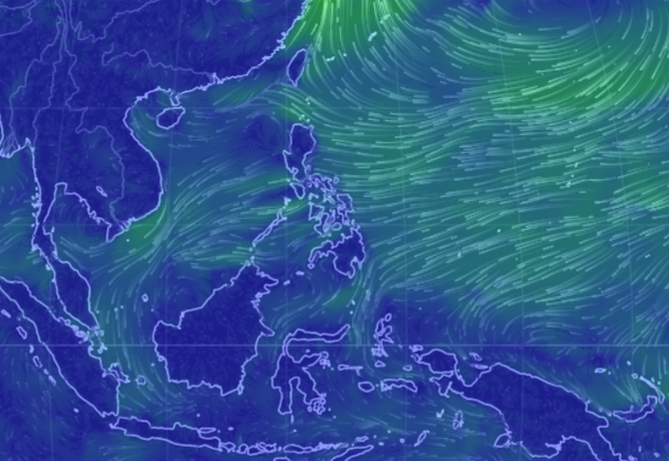
The country remains storm-free on the last day of the month but the presence of the Tail-End of a Cold Front and Northeast Monsoon will continue to unleash rains in several parts of Luzon.
The Tail-End of a Cold Front is the extension of a frontal system, where cold air dominates the warm air mass. The convergence of winds with different characteristics can form convective clouds that will bring rains in affected areas. MEanwhile, the Northeast Monsoon or Hanging Amihan is composed of cold and dry air coming from the Mainland China or Siberia.
In the next hours, cloudy skies with scattered rain showers and thunderstorms will be experienced in Bicol Region and the provinces of Aurora and Quezon. Cagayan Valley will have cloudy skies with light rains, while the rest of the country can expect partly cloudy to cloudy skies with isolated rain showers or thunderstorms.
Meanwhile, the surge of Amihan prompted PAGASA to raise a gale warning in the northern seaboard of Northern Luzon, where fishing boats and other small seacraft are alerted against moderate to rough sea conditions.
March Weather Overview
As we step into another month, PAGASA Weather Forecaster Chris Perez said that at least one Tropical Cyclone is expected to develop or enter the Philippine Area of Responsibility (PAR) in March. A cyclone may hit the landmass, particularly in Visayas or Southern Luzon or it could move near the land but will spare the country and will re-curve away.

Latest Advisories
