Home > Public Advisory > Thunderstorm
“VINTA” has intensified further as it threatens CARAGA area
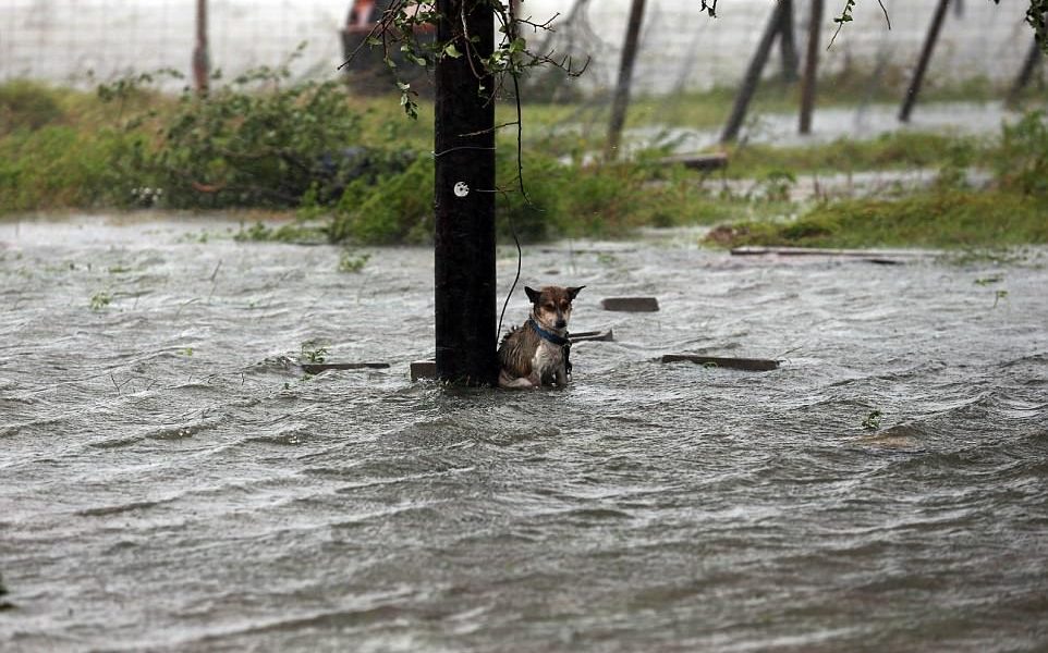
Scattered to widespread moderate to heavy rains is expected over Central Visayas, Eastern Visayas, Caraga, Davao Region, Northern Mindanao, and Zamboanga Peninsula within 24 hours.
Residents of these areas must make appropriate actions against possible flooding and landslides, coordinate with their respective local disaster risk reduction and management offices, and continue monitoring for updates.
Sea travel is risky over the seaboards of areas under Tropical Cyclone Warning Signal (TCWS).
Expected to make landfall over Surigao del Sur between late this evening and tomorrow early morning (22 December)
Location of eye/center: At 4:00 PM today, the center of Tropical Storm “VINTA” was estimated based on all available data including Hinatuan doppler radar at 200 km East of Hinatuan, Surigao del Sur (08.1 °N, 128.1 °E)
Strength: Maximum sustained winds of 80 kph near the center and gustiness of up to 110 kph
Forecast Movement: Forecast to move West at 21 kph
Forecast Positions:
24 Hour(Tomorrow afternoon): 75 km Northwest of El Salvador City, Misamis Oriental(8.8°N, 124.1°E)
48 Hour(Saturday afternoon):165 km South of Puerto Princesa City, Palawan(8.3°N, 119.0°E)
72 Hour(Sunday afternoon): 435 km West of Puerto Princesa City, Palawan (OUTSIDE PAR)(9.7°N, 114.8°E)
96 Hour(Monday afternoon):1,005 km West of Puerto Princesa City, Palawan (OUTSIDE PAR)(9.9°N, 109.6°E)
Latest Advisories
